Last Updated on June 17, 2026
Have you ever wondered how your GPS navigation system knows exactly where you are and guides you to your destination? It feels almost like magic when your device tells you to turn left or right at just the right moment.
But behind this simple instruction lies a fascinating technology working silently to make your trips easier and stress-free. You’ll discover the secrets behind GPS navigation systems—how they find your location, plot the best route, and keep you on track. Understanding this can change the way you use your device and help you trust it even more when you’re on the road.
Keep reading to unlock the mystery of how GPS navigation systems work!
Credit: agriculture.chcnav.com
Satellite Network Setup
GPS navigation systems use a network of satellites in space. These satellites send signals to devices on Earth.
The setup of this satellite network is important for accurate location tracking.
Constellation Of Gps Satellites
The GPS system has about 30 satellites orbiting Earth. They are spread out to cover the whole planet.
This group of satellites is called a constellation. It ensures at least four satellites are visible from any place on Earth.
- Satellites orbit at about 20,200 kilometers above Earth
- They circle the Earth twice a day
- Their positions are carefully planned for full coverage
- Each satellite sends unique signals to receivers
Signal Transmission Basics
Satellites send radio signals to GPS receivers on the ground. These signals carry time and position data.
The receiver uses this data to find its location by measuring the distance to each satellite.
- Satellites have atomic clocks for precise time
- Receivers calculate distance based on signal travel time
- Signals travel at the speed of light
- At least four satellites are needed for accurate position

Credit: www.youtube.com
Signal Processing Techniques
GPS navigation systems use signals from satellites to find locations. These signals need careful processing to give accurate results.
Signal processing helps the GPS receiver calculate where you are on Earth. It uses special techniques to measure time and position.
Time Measurement And Synchronization
GPS satellites send signals with exact time stamps. The GPS receiver measures how long the signals take to arrive.
Precise clocks in satellites and receivers keep time synchronized. This helps the system calculate distances accurately.
- Satellites have atomic clocks for exact time
- Receivers compare signal time to their clock
- Time difference shows how far the signal traveled
Triangulation And Position Calculation
The receiver uses signals from at least four satellites. It measures distances to each satellite using time data.
Triangulation finds the exact position by calculating where the distance spheres from satellites overlap.
- Distance from satellites forms spheres around them
- Position is where the spheres intersect
- Using four satellites fixes position and clock errors
Enhancing Location Accuracy
GPS navigation systems help us find places by using signals from satellites. Sometimes, these signals have errors that affect location accuracy.
Improving the accuracy of GPS helps devices give better directions and track movement more precisely.
Error Sources And Corrections
GPS signals can be affected by several errors. These errors cause the device to show wrong locations.
Common error sources include atmospheric changes, satellite clock errors, and signal reflections from buildings or trees.
- Atmospheric delays slow down signals, causing distance errors.
- Satellite clocks may have small timing mistakes.
- Multipath errors happen when signals bounce off surfaces before reaching the receiver.
GPS systems use corrections to fix these errors. One way is by comparing signals from multiple satellites.
Augmentation Systems
Augmentation systems improve GPS accuracy by sending extra correction data to receivers. These systems help reduce errors.
There are different types of augmentation systems. Some use ground stations, while others use satellites to send correction signals.
- WAAS (Wide Area Augmentation System) uses ground stations and satellites to correct signals in North America.
- EGNOS (European Geostationary Navigation Overlay Service) works over Europe to improve GPS accuracy.
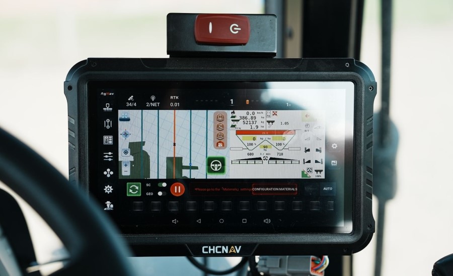
- RTK (Real-Time Kinematic) uses local base stations to provide very precise corrections for surveying and mapping.

Credit: www.garmin.com
Applications And Future Trends
GPS navigation systems help us find places and track locations. They use satellites to give accurate directions.
These systems are now common in many areas. New technology keeps improving how GPS works.
Current Uses In Daily Life
People use GPS for driving, walking, and biking directions. It helps avoid traffic and find the fastest route.
GPS is also used in phones to share locations with friends and family. Delivery services use GPS to track packages and drivers.
- Car navigation systems for route planning
- Fitness apps to track running and cycling
- Ride-sharing apps to locate drivers
- Emergency services to find people quickly
- Outdoor activities like hiking and geocaching
Advancements In Gps Technology
GPS technology is becoming more accurate and faster. New satellites and better receivers improve signal quality.
Future GPS systems may work indoors and underground. Integration with other technologies will make navigation smarter.
- More satellites to reduce signal loss
- Improved real-time traffic updates
- Indoor navigation for malls and airports
- Integration with smart devices and cars
- Use of AI to predict the best routes
Frequently Asked Questions
How Do Gps Navigation Systems Find Your Exact Location?
GPS systems use signals from multiple satellites to calculate your precise position on Earth.
Why Do Gps Devices Sometimes Lose Signal?
Buildings, trees, and weather can block satellite signals, causing GPS to lose accuracy or signal.
How Accurate Are Gps Navigation Systems?
Most GPS devices can pinpoint locations within 5 to 10 meters under good conditions.
What Role Do Satellites Play In Gps Navigation?
Satellites send timing signals that help GPS receivers calculate distance and location.
Can Gps Work Indoors Or Underground?
GPS signals struggle indoors or underground because satellites need a clear sky view.
Conclusion
GPS navigation systems rely on satellites to find your exact location. They send signals that your device reads quickly and clearly. This helps you travel with ease and avoid getting lost. The technology keeps improving to provide better accuracy. Understanding how GPS works helps you trust and use it wisely.
Next time you use navigation, think about the satellites guiding you. It’s a simple system making travel safer and faster every day.